

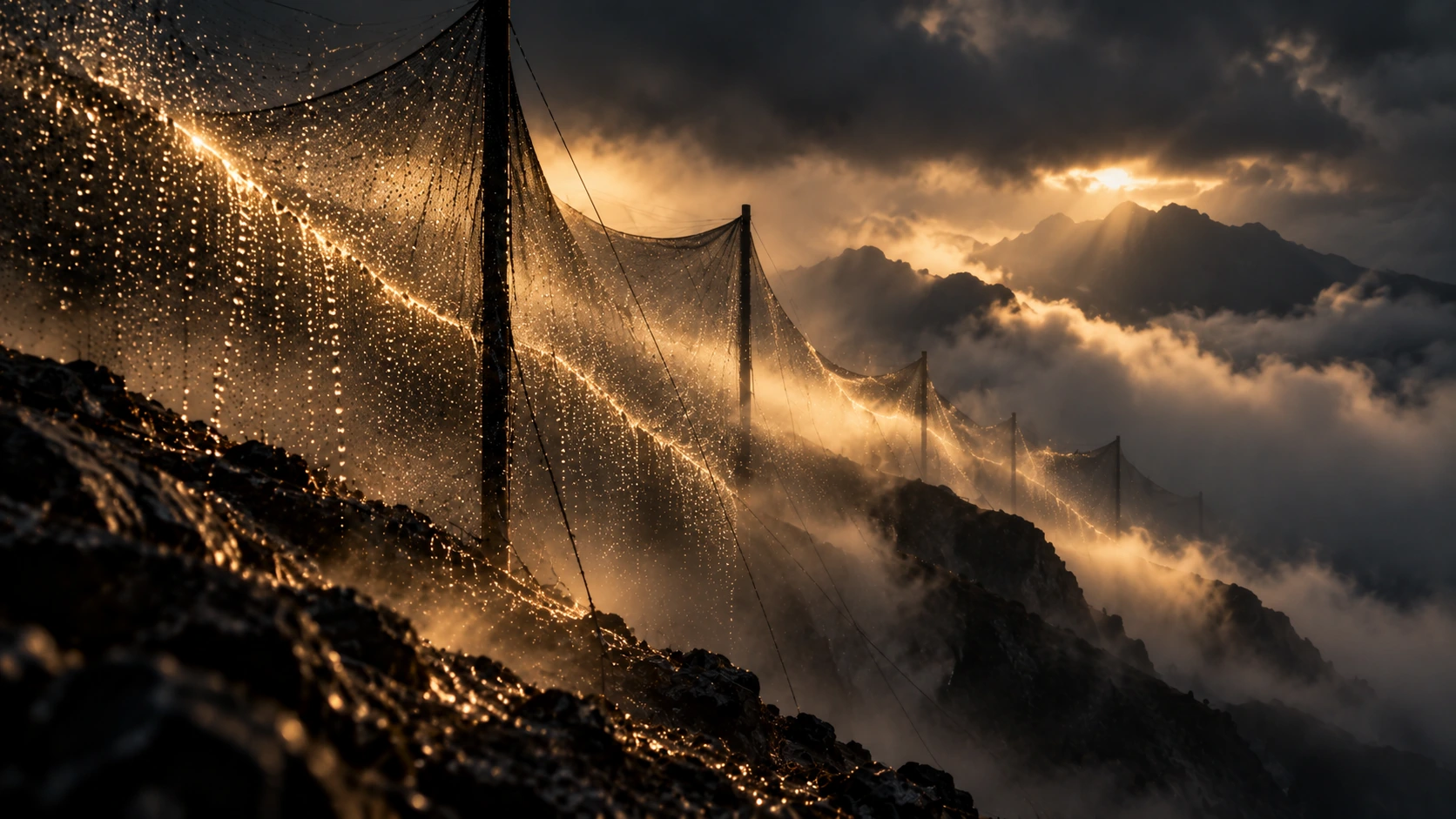
Reach places that are hard to get to.
Advanced UAS, remote sensing and mapping let us document difficult terrain, establish site conditions and plan follow-up work before people are put into exposed or remote areas.
Define the question before you design the mission.
Define what has to be checked.
Identify the condition, measurement or follow-up observation the job requires before choosing how to collect it.
Choose the collection plan.
Set the flight pattern, sensor and return schedule to suit the terrain and the result you need.
Make return visits comparable.
Keep georeferencing, quality control, processing and analysis consistent enough to support comparison over time.
Know when the image is not enough.
Add geological, engineering, environmental or inspection interpretation when the conclusion depends on it.
Use the drone when it changes what you can observe.
That may mean safer observation of difficult terrain, repeat visits on a consistent basis or a clearer comparison of change over time.
Observe difficult ground before sending people in.
Repeat the mission on a consistent basis.
Compare conditions before interpreting why they changed.
Capture is only the beginning.
Proprietary technology gets the evidence in. Quality control, analysis and specialist interpretation determine what it supports and what the client should do.