

STOCKPILES + MATERIAL
How much moved?
Compare volume and position from one round to the next to document additions, removals or shifts in defined stockpile areas.
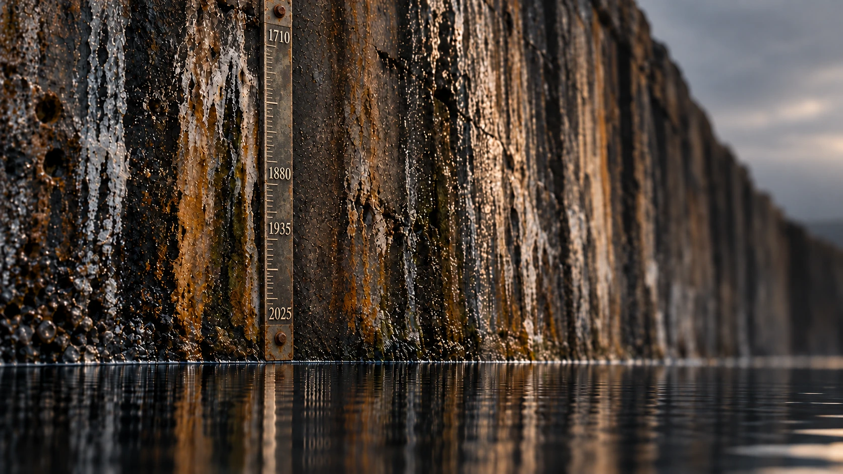
One inspection shows one moment. Repeat monitoring shows what is holding steady and what is not. Rutuli uses advanced UAS, remote sensing and geospatial collection to revisit defined areas and track stockpiles and waste, slopes and highwalls, reclamation work and environmental conditions over time. That lets operating teams see where closer attention is needed.
To tell whether something truly moved, we have to measure the same area in a consistent way. Rutuli defines the area, reference points and collection method, then records when and where each round was captured, along with data quality and known limits. On the next visit, we can measure against that first record.
If something appears to have moved, we compare the new collection with the starting record and locate the difference. Geological, geotechnical, environmental or engineering questions then go to the appropriate specialist. Remote evidence helps focus that work; it does not replace qualified judgment or field confirmation.
Compare volume and position from one round to the next to document additions, removals or shifts in defined stockpile areas.
Repeated coverage can flag visible movement or other anomalies that deserve field confirmation or geotechnical or engineering review.
Compare reclaimed areas with earlier conditions to document where restoration or closure work is advancing and where conditions need an on-the-ground check.
Use repeat imagery and geospatial evidence to document visible or mapped differences and show where sampling, field inspection or environmental specialist review may be needed.
The result is a record of the differences since the last visit, the areas that deserve attention and the questions that still need confirmation. Teams can then decide where to inspect now, when to bring in a specialist and which areas can stay on routine monitoring.